
Construction Photography
Built From Above.
Aerial documentation for contractors, developers, and engineers across every phase of construction.
Progress Documented. Every Phase.
From ground-breaking to ribbon-cutting, aerial photography gives project owners, contractors, and lenders an unmatched view of construction progress.
Our imagery is used for progress reporting, regulatory compliance, marketing, and legal documentation on projects ranging from marine infrastructure to urban development.
Construction Applications
Progress Monitoring
Scheduled aerial documentation at key milestones to track construction progress for owners and lenders.
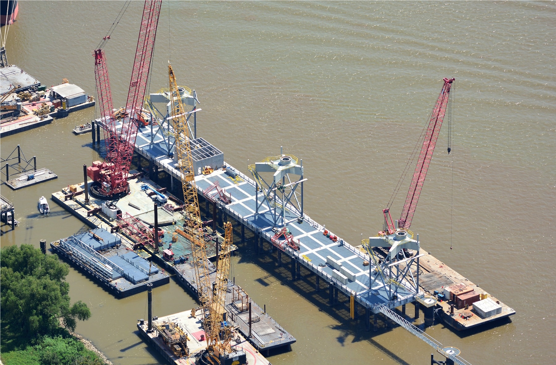
Marine & Waterfront
Pier, dock, and waterfront construction documentation from angles only available from the air.
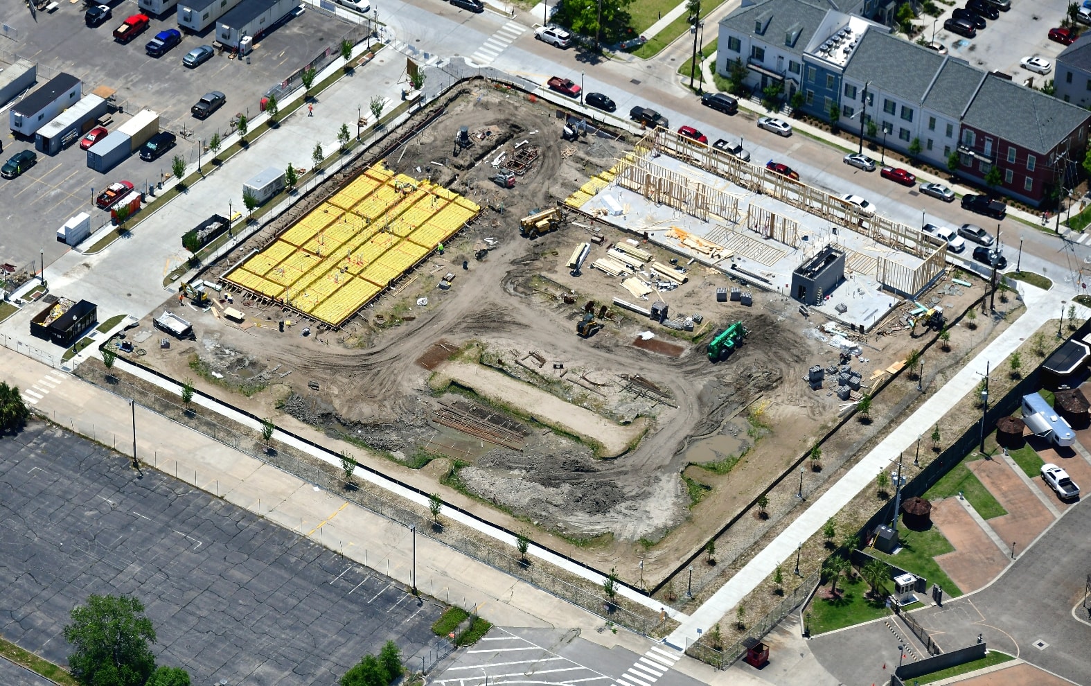
Site Planning
Pre-construction baseline imagery for planning, permitting, and stakeholder presentations.
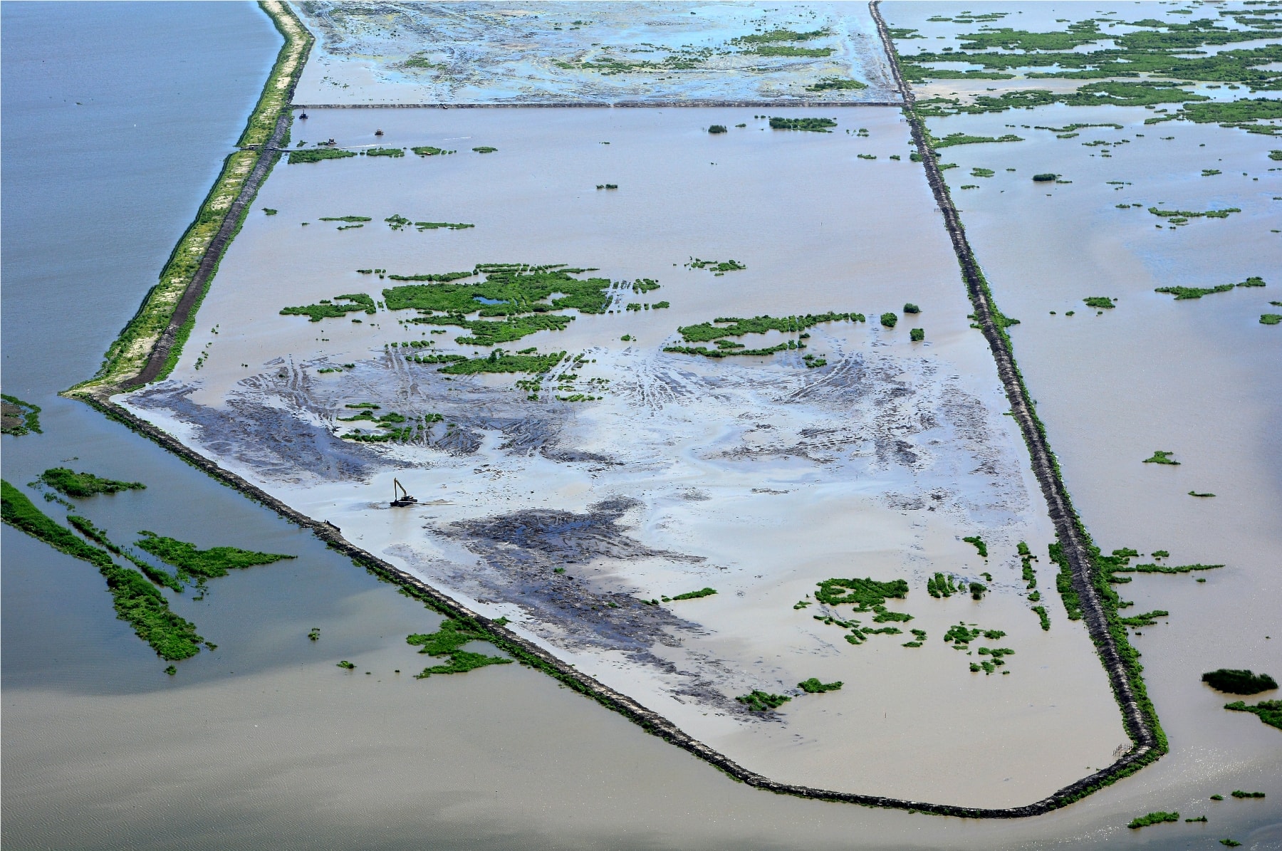
Coastal & Wetland Projects
Dredging, marsh restoration, and coastal infrastructure documentation for engineers and regulators.
Gallery
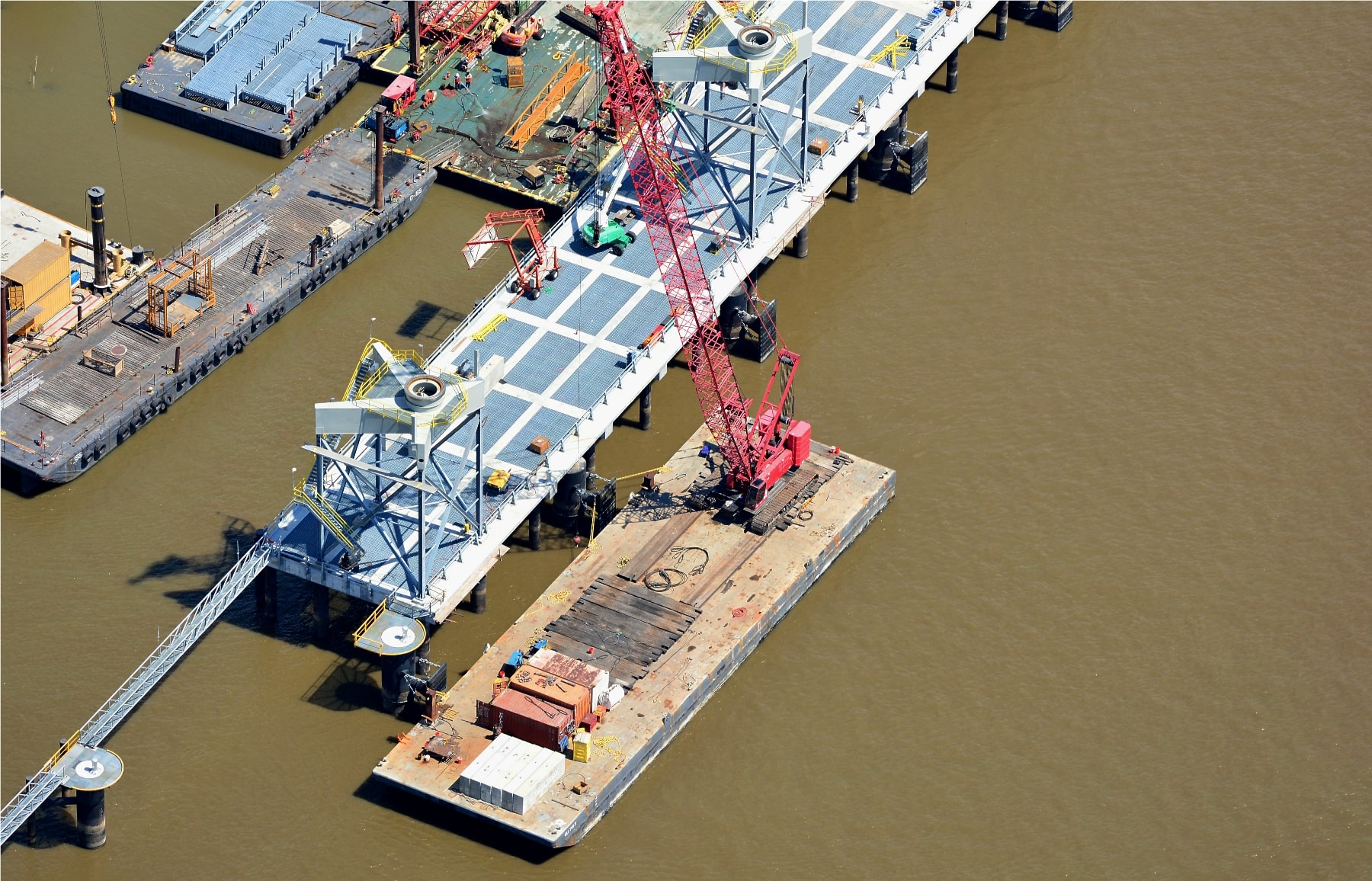
Pier Construction Barge & Crane Operations
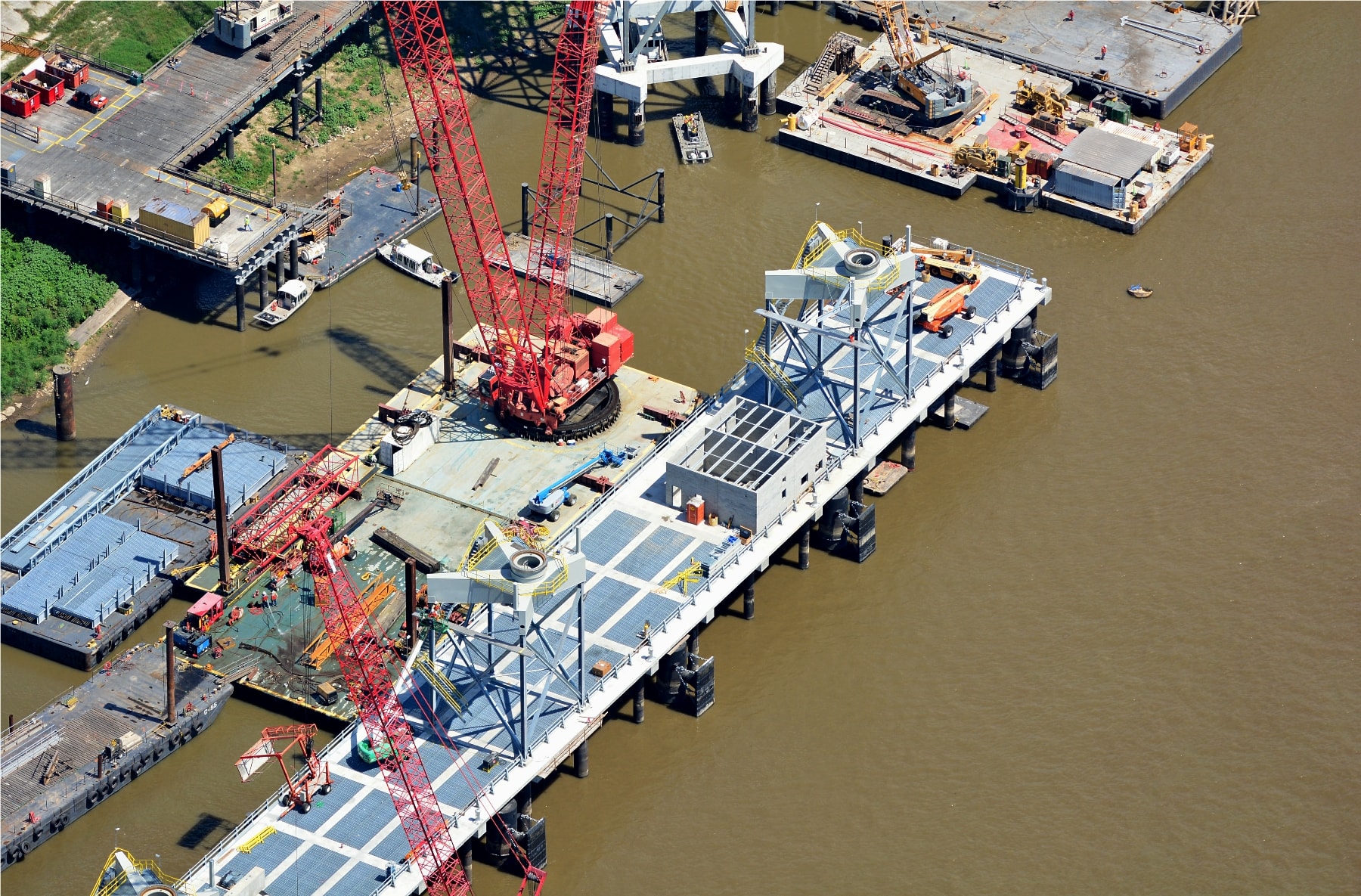
Marine Infrastructure Progress
Urban Development Site
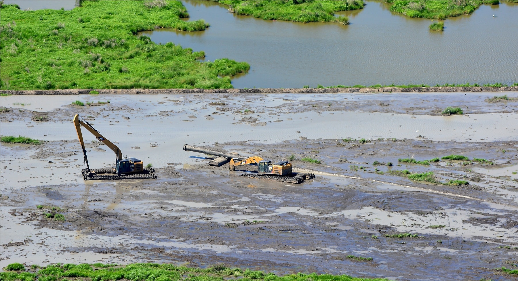
Tidal Flat Excavation
Coastal Marsh Restoration
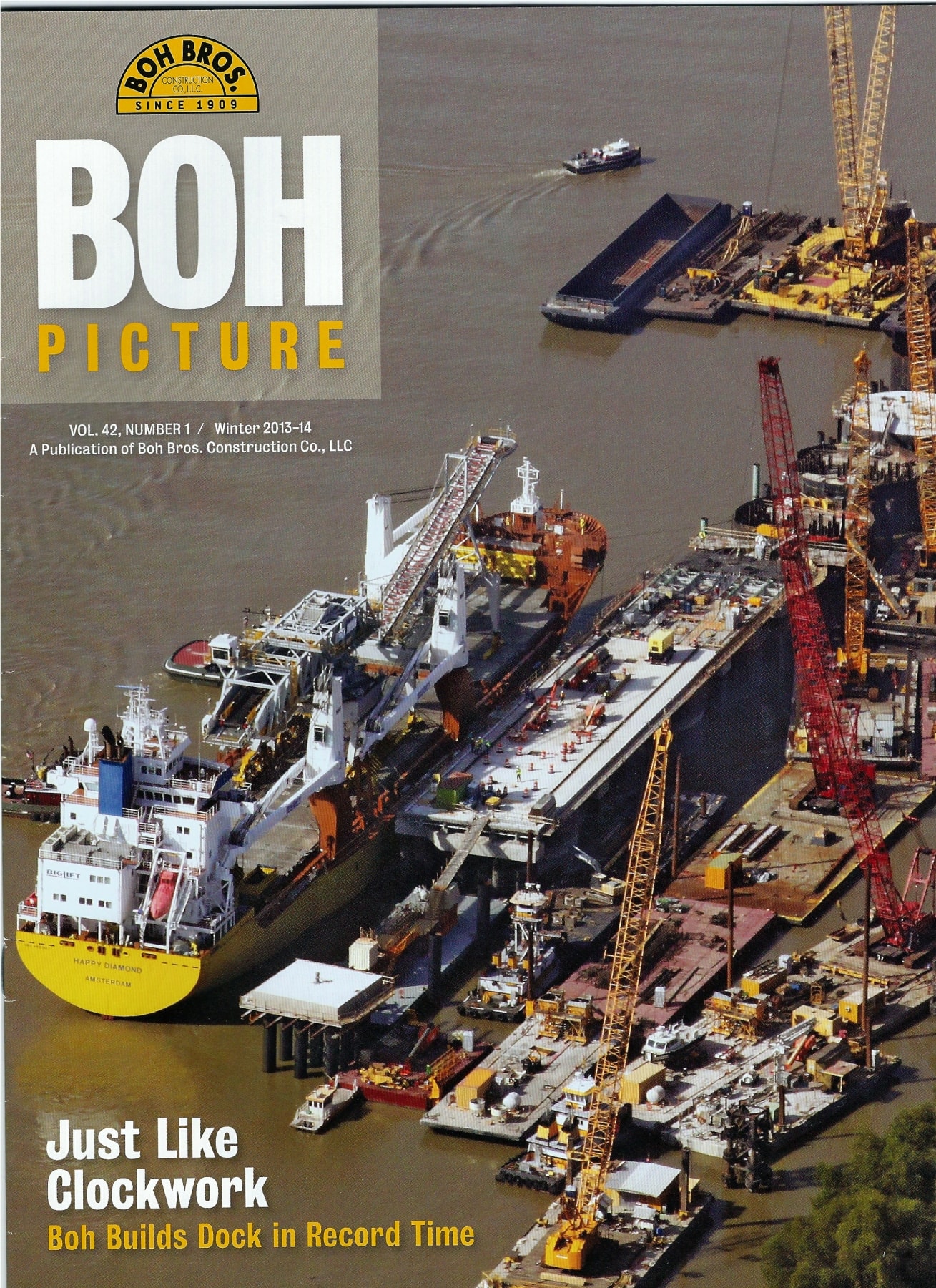
As Featured In
Boh Picture Magazine
Vol. 42, No. 1 — Winter 2013–14
Our aerial photography of the Boh Bros. dock construction project was featured on the cover of Boh Picture, the publication of Boh Bros. Construction Co., LLC — one of the Gulf Coast's most respected marine and heavy civil contractors.
Document Your Project From Above
Scheduled or on-demand aerial photography for construction projects of any scale along the Gulf Coast.
Contact Us