Dredging & Coastal Restoration
Rebuilding Louisiana's Coast, One Acre at a Time
Aerial documentation of dredging and marsh restoration operations across coastal Louisiana.
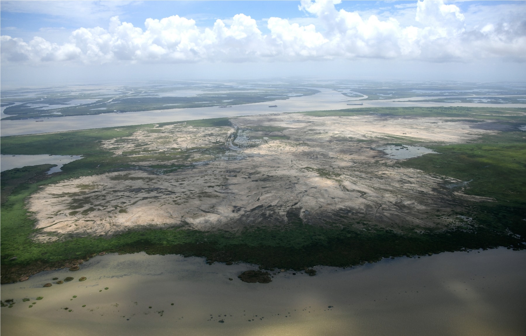
Delacroix, Louisiana
Marsh Creation in Progress
Fresh dredge spoil fans across a contained cell near Delacroix, Louisiana, as a marsh creation project takes shape from the air. What looks like bare earth from the ground reveals its geometry only from altitude containment levees tracing clean lines through the brackish marsh, the Mississippi River visible on the horizon beyond.
We've documented projects like this across the Louisiana coast, providing contractors and agencies with a visual record of placement progress that ground crews simply can't capture.
Delacroix, Louisiana
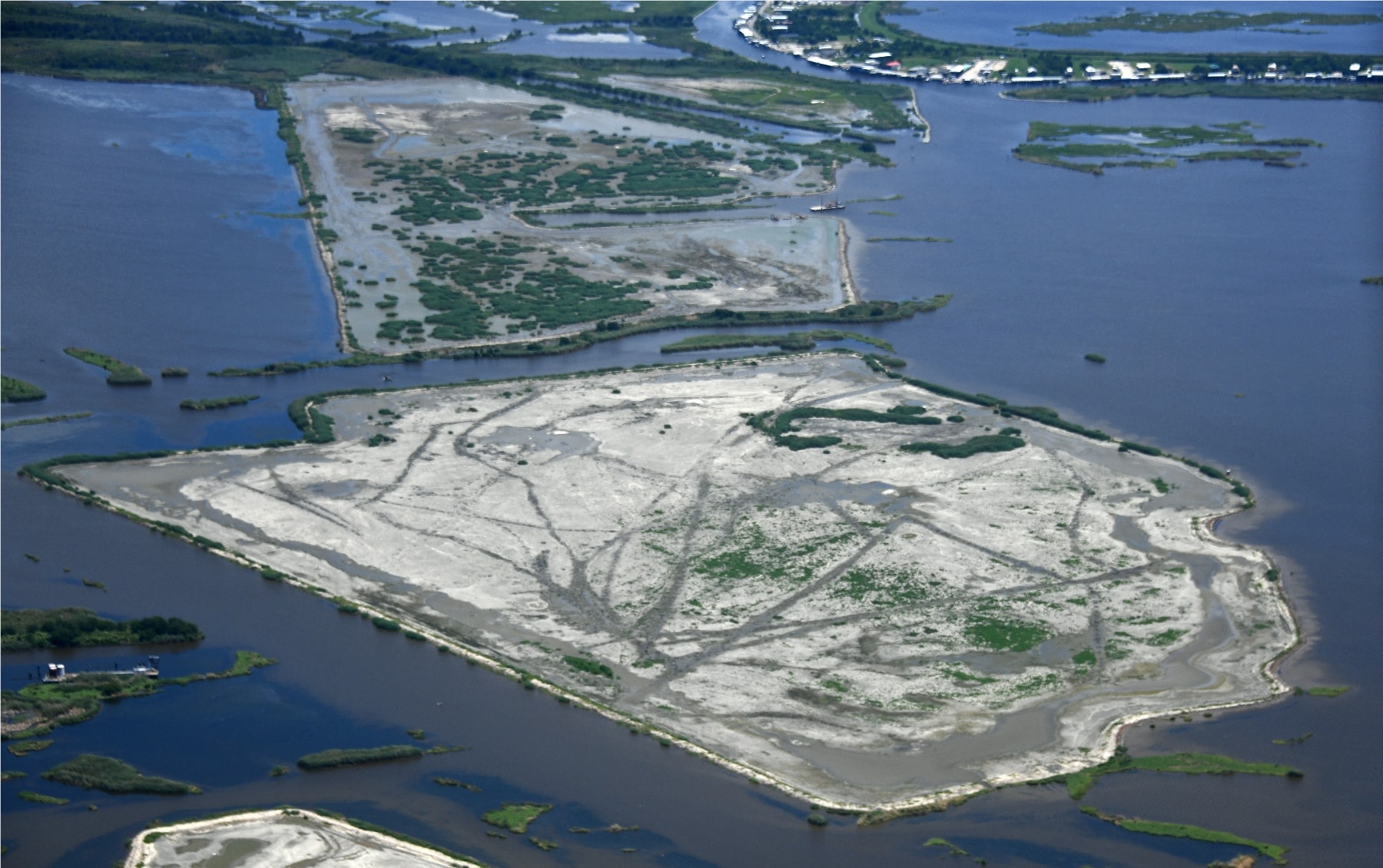
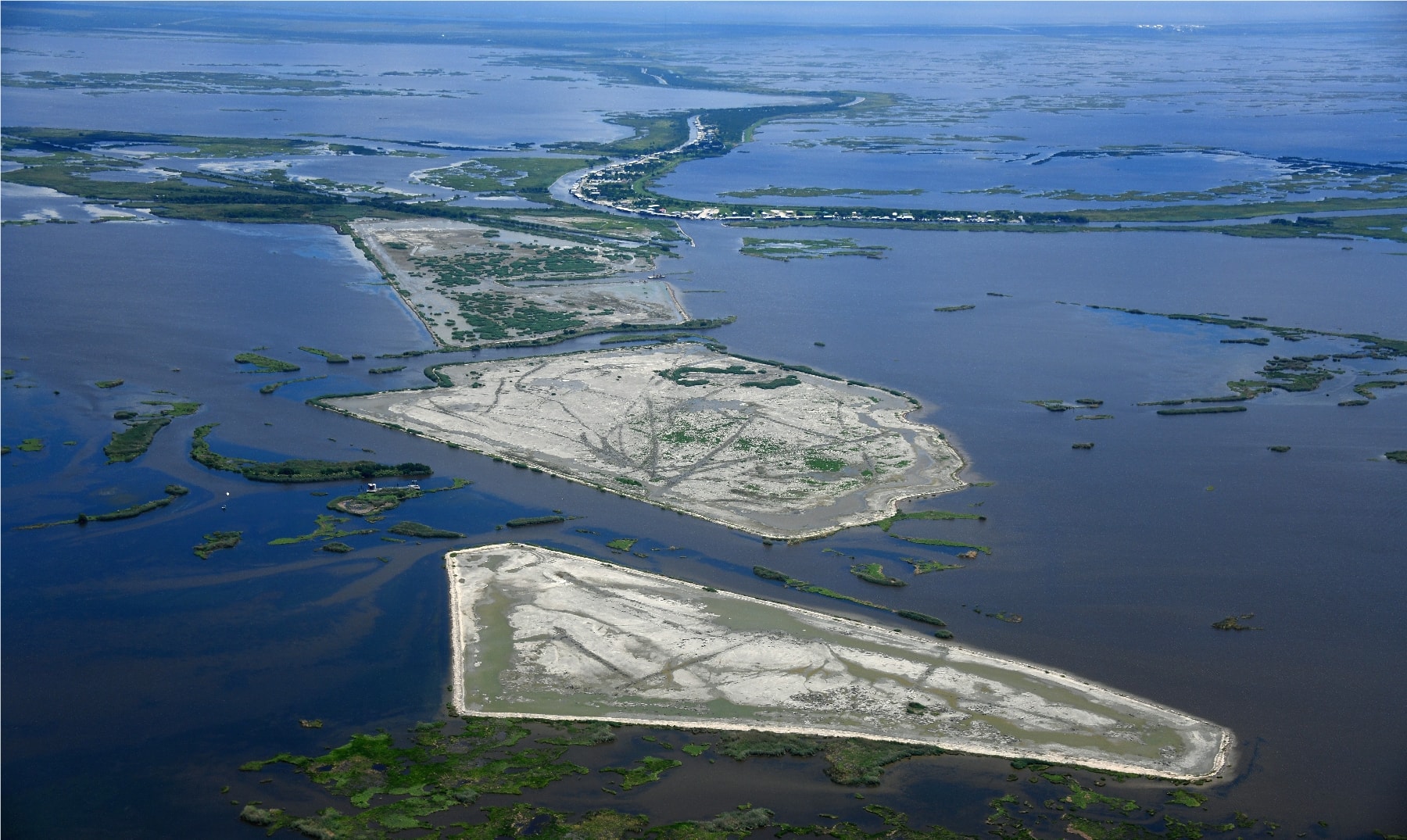
Dredge Cells Taking Shape
Two completed dredge cells near Delacroix show the progression from open water to emerging marsh platform. The triangular and rectangular containment structures hold freshly pumped sediment as it consolidates and vegetation begins to colonize the surface land literally being built before the lens.
Aerial photography is the only practical way to assess cell fill levels, levee integrity, and vegetation establishment across projects of this scale.
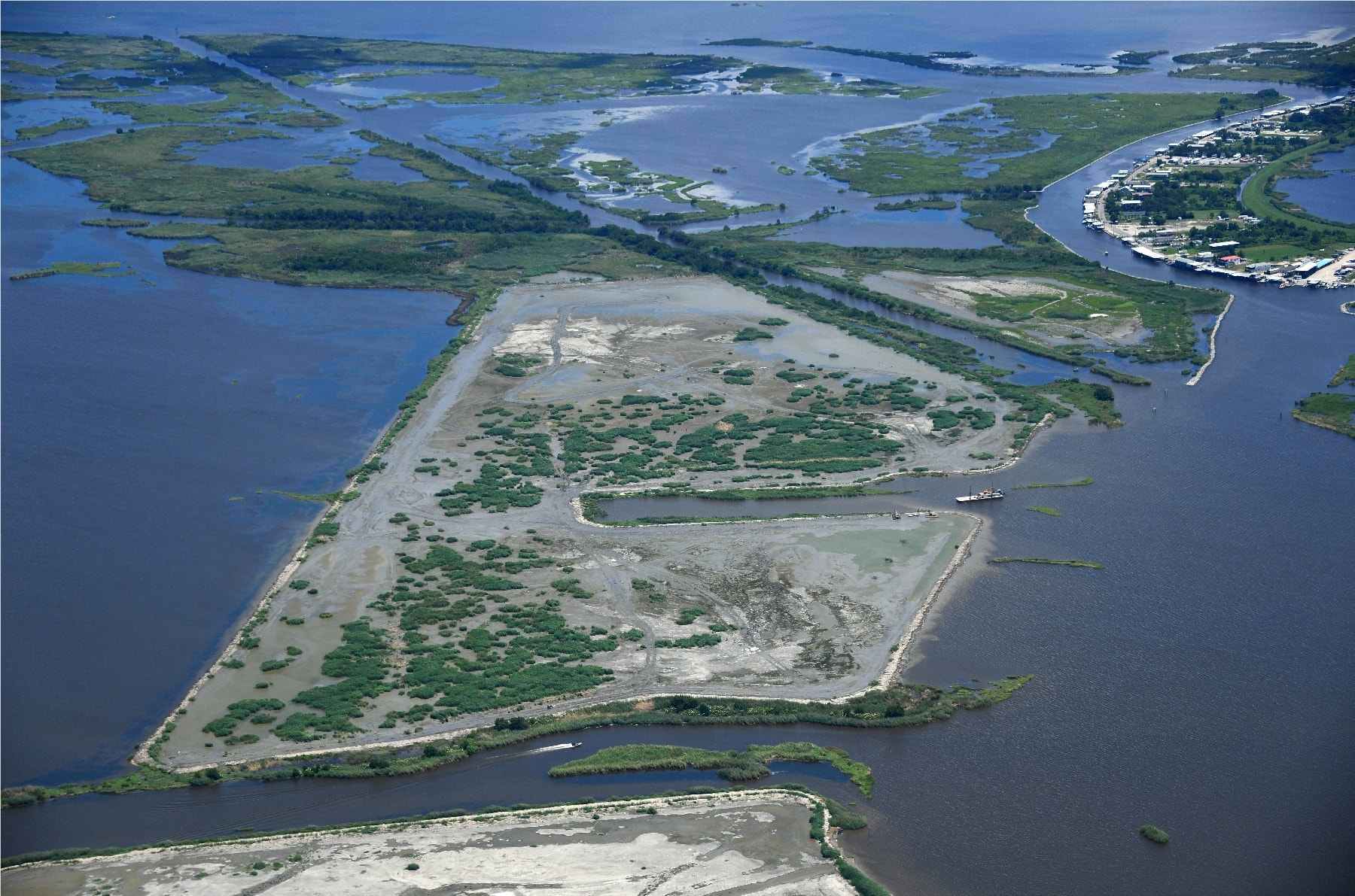
Delacroix, Louisiana
Sediment Placement & Vegetation Colonization
A more advanced restoration cell near Delacroix shows what comes after the dredge moves on scattered marsh grass pushing through the consolidated spoil, the containment levee still holding the perimeter while nature begins its work. The community of Delacroix is visible in the upper right, a reminder of why this work matters.
We document these sites at multiple stages, giving project managers a time-lapse record of how each cell matures from open sediment to functioning wetland.
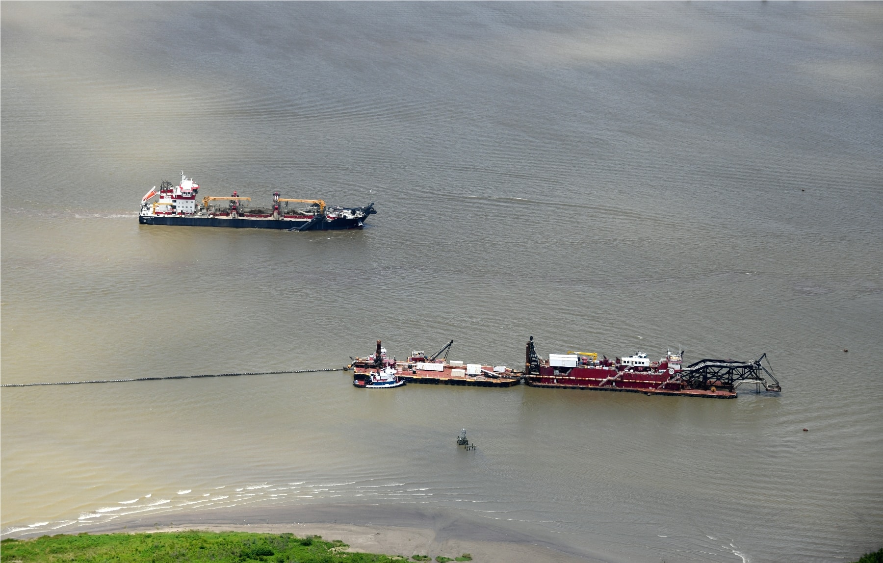
Birds Foot Delta 10 Miles South of Venice, Louisiana
Dredging at the End of the River
Ten miles south of Venice, at the very tip of the Mississippi River's Birds Foot Delta, a hopper dredge and a cutter-suction dredge work in tandem in the open water. This is where the river meets the Gulf one of the most active dredging corridors in North America, kept navigable year-round to serve the ports of South Louisiana.
From altitude, the scale of the operation becomes clear: the pipeline stretching from the cutter suction dredge to the disposal area, the hopper dredge making its pass, the shallow delta shoreline just below frame. This is the kind of documentation that ends up in project reports, bid packages, and agency files.
Birds Foot Delta South of Venice, Louisiana
The Delta from Above
Summer cumulus build over the Birds Foot Delta south of Venice, Louisiana the Mississippi River's final miles before it empties into the Gulf of Mexico. The patchwork of open water, emergent marsh, and freshly placed sediment tells the story of a coastline in constant negotiation between land and sea.
We fly this corridor regularly, documenting restoration progress, dredge operations, and the slow, steady work of rebuilding Louisiana's disappearing coast.